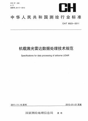
CH/T 8023-2011
Specifications for data processing of airborne LIDAR (English Version)
- Standard No.
- CH/T 8023-2011
- Language
- Chinese, Available in English version
- Release Date
- 2011
- Published By
- Professional Standard - Surveying and Mapping
- Latest
- CH/T 8023-2011
- Replace By
- LST EN 61300-3-4-2013
- Scope
- This standard specifies the data processing technical requirements for producing basic geographic information digital results using data obtained from airborne lidar. This standard applies to the production operations and results collection of airborne lidar data processing in basic surveying and mapping. Surveying and mapping projects of other nature can be implemented with reference.
CH/T 8023-2011 Referenced Document
- CH/T 1001 General rules for technical summaries of surveying and mapping
- CH/T 1004 General rules for technical design of surveying and mapping
- CH/T 1007 Metadata for digital products of fundamental geographic information
- CH/T 1011 Digital products of fundamental geographic information.1:10000 1:5000O digital line graphs
- CH/T 8024-2011 Specifications for data acquisition of airborne LIDAR
- CH/T 9008.1 Digital products of fundamental geographic information.1:500 1:1000 1:2000 digital line graphs
- CH/T 9008.2 Digital products of fundamental geographic information.1:500 1:1000 1:2000 digital elevation models
- CH/T 9008.3 Digital products of fundamental geographic information.1:500 1:1000 1:2000 digital orthophoto maps
- CH/T 9009.2 Digital products of fundamental geographic information.1:5000 1:10000 1:25000 1:50000 1:100000 digital elevation models
- CH/T 9009.3 Digital products of fundamental geographic information.1:5000 1:10000 1:25000 1:50000 1:100000 digital orthophoto maps
- GB/T 13923 Classification and codes for fundamental geographic information feature*, 2022-04-15 Update
- GB/T 13989 Subdivision and numbering for the national primary scale topographic maps*, 2012-06-29 Update
- GB/T 18316 Specifications for inspection and acceptance of quality of digital surveying and mapping achivements
- GB/T 20257.1 Cartographic symbols for national fundamental scale maps—Part 1:Specifications for cartographic symbols 1︰500 1︰1 000 & 1︰2 000 topographic maps*, 2017-10-14 Update
CH/T 8023-2011 history
- 2011 CH/T 8023-2011 Specifications for data processing of airborne LIDAR
CH/T 8023-2011 Specifications for data processing of airborne LIDAR was changed to LST EN 61300-3-4-2013 Fibre optic interconnecting devices and passive components - Basic test and measurement procedures -- Part 3-4: Examinations and measurements - Attenuation (IEC 61300-3-4:2012).
